Autonomous Wildfire Detection
Detecting wildfires from the sky
before they become disasters
AI-powered drone patrols that detect wildfires in minutes, not hours.
Autonomous Wildfire Detection
AI-powered drone patrols that detect wildfires in minutes, not hours.
Climate change has turned wildfires from seasonal events into a year-round crisis. Current detection methods were designed for a world that no longer exists.
Sparse tower networks watched by human eyes, with no AI in the loop and nothing in the air to cover what they miss behind ridges and across remote terrain.
Hours between passes. By the time a satellite spots a fire, it may already be beyond containment.
~1 sensor per hectare. Massive deployment cost, maintenance-intensive in remote terrain.
No AI detection, just heat maps for humans to watch. 30-minute flight time. Require a trained pilot on site.
Sparkhawk deploys autonomous long-range drones running SparkEye, our onboard detection AI, to catch wildfires at their earliest stage, from the first wisps of smoke.
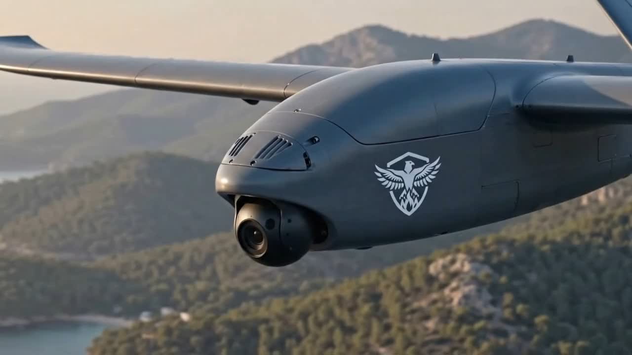
The Sparkhawk UAV is a long-range fixed-wing aircraft that launches from any clearing, patrols for hours, and carries SparkEye on its own onboard computer.
Design targets for the production aircraft.
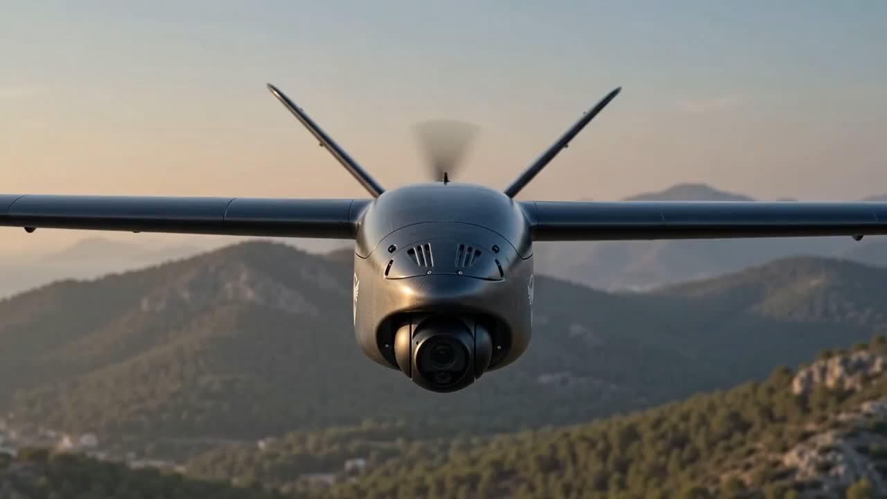
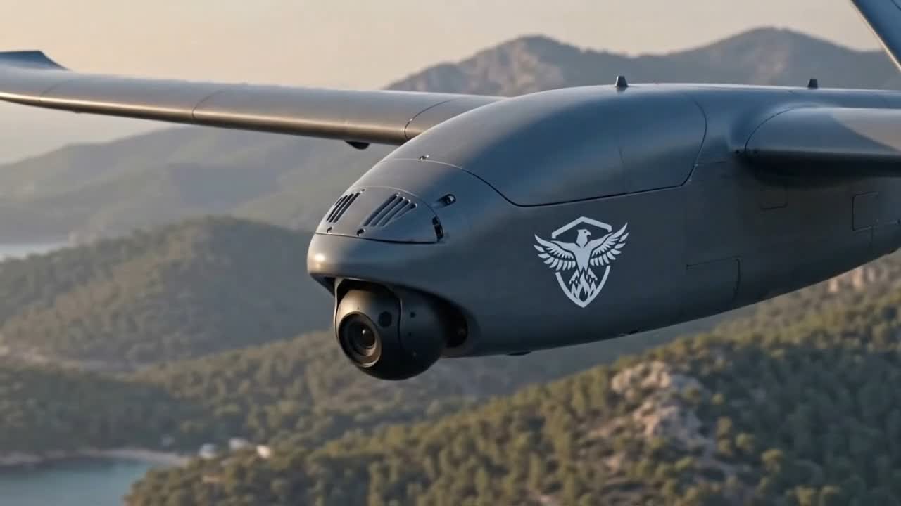
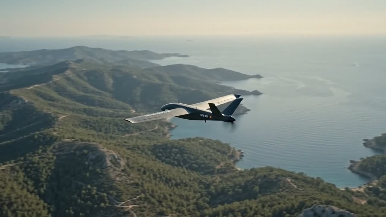
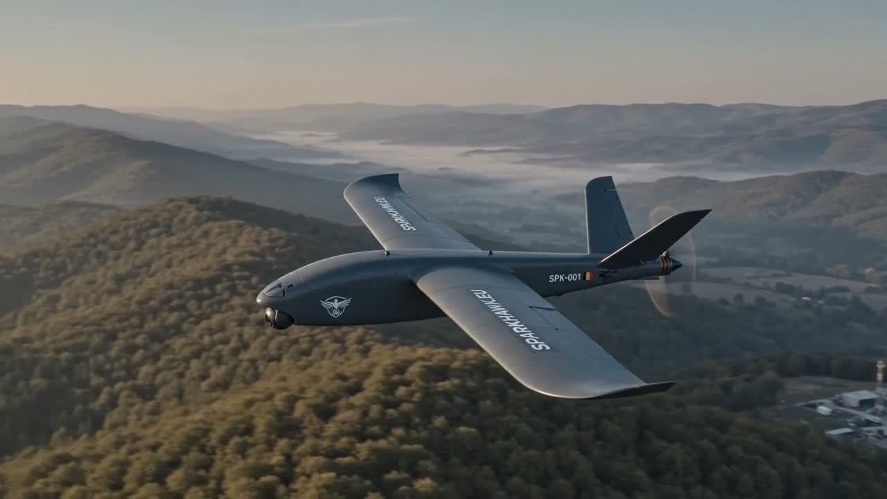
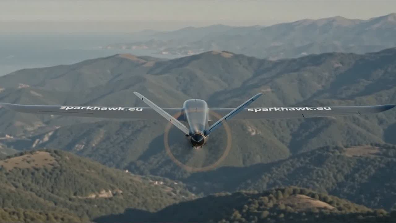
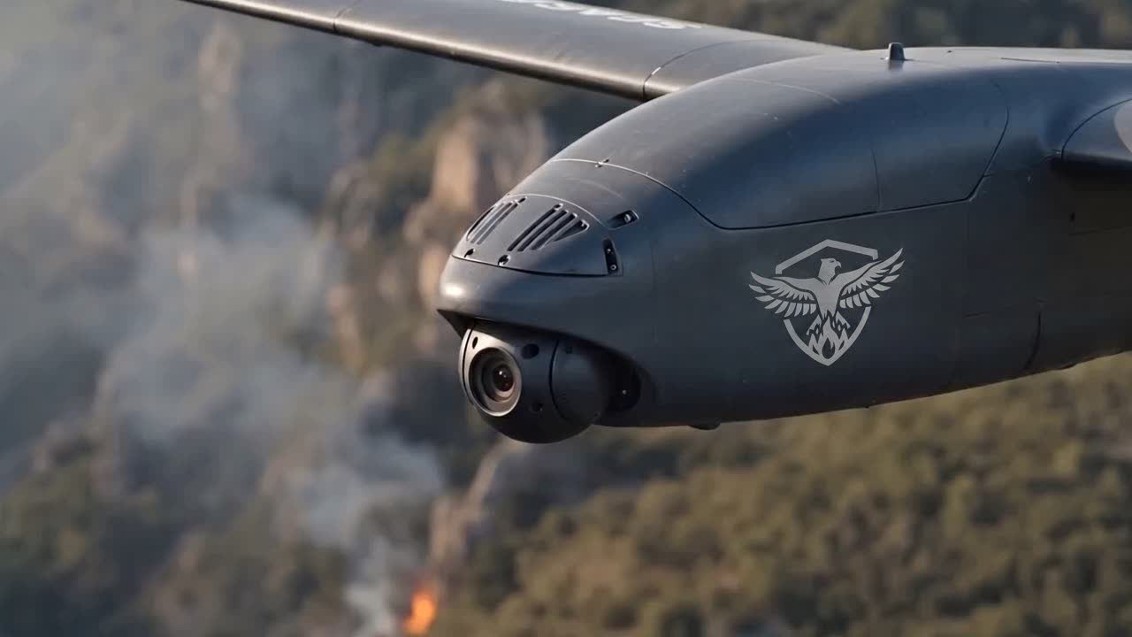
Launches from a small clearing with no airstrip and no ground infrastructure, then cruises in efficient fixed-wing flight for hours of coverage.
An onboard edge computer runs SparkEye in the air. Detection doesn’t depend on streaming video to the ground first.
Live annotated video, position, and alerts stream to SparkCenter over a resilient long-range digital link.
Flies pre-planned patrol routes autonomously, with return-to-home safety behaviours built in.
SparkPillar is our off-grid watchtower, for places with no power and no internet. It runs on a solar panel and a battery. It watches the land around it day and night.
Design targets for the production unit.
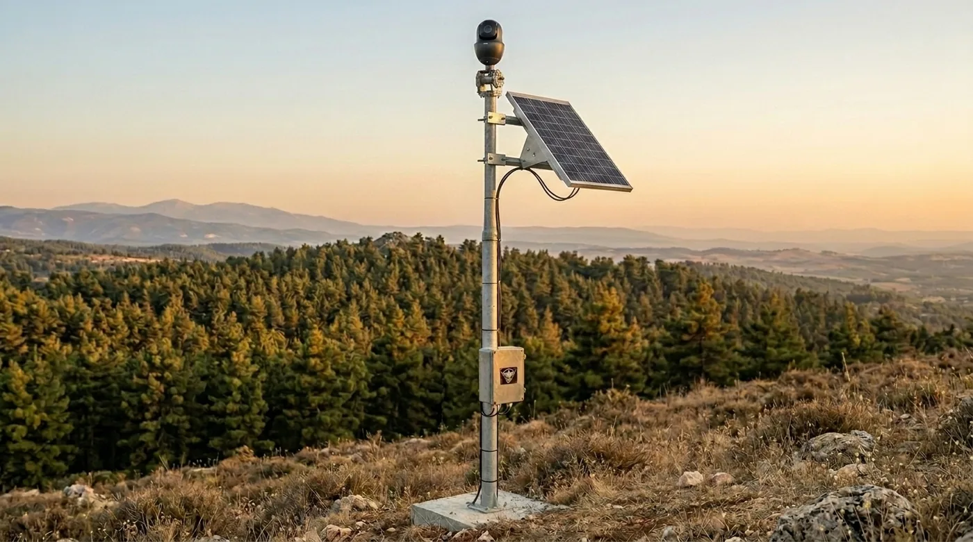
The camera on the mast turns through a full circle and photographs every direction, repeating the scan every few minutes.
The system is built to see kilometres out, not just the valley below. It catches a plume while it is still a thread on a distant ridge.
SparkEye checks every image for fire and smoke, on the unit itself. No cloud connection needed.
Air sensors smell what the camera cannot yet see: the gases and particles of a fire that is just starting, day and night.
Mobile network where there is coverage, long-range radio where there is none. The alert reaches SparkCenter either way.
The same eyes, on mains power.
SparkBox is the powered sibling of SparkPillar. It mounts where electricity exists: towers, rooftops, industrial sites. It streams live video, keeps its full detection cycle running around the clock, and reports over the mobile network. Same AI, same alerts, same dashboard.
The watchtowers feed the same SparkCenter as the drones: one map, one alert list, one operator.
SparkEye analyses the live camera feed in real-time, on every Spark Guard. It classifies smoke and flame, grades severity, and confirms each detection across frames to suppress false alarms.


Actual output of SparkEye on live wildfire imagery: smoke classified with confidence scores and severity grades, kilometres before flames spread.
SparkCenter is where the operator sits. It shows the patrol route, live position, and the SparkEye-annotated camera feed in one view. When smoke is flagged, the operator decides in one click: send the drone to confirm it, mark it and carry on, or rule it out. SparkCenter is installed on your own systems, and your data stays there.

Live flight view during a detection: patrol route, real-time telemetry, annotated camera feed, and the alert prompt with the fire’s coordinates.

Every detection arrives with confidence, GPS coordinates, estimated distance, and image proof, graded from LOW to CRITICAL by real fire size.
Fires appear as geolocated markers on the mission map the moment they are confirmed, alongside the route and the aircraft itself.
Confirmed alerts go to emergency services instantly, with the coordinates and snapshot attached. Multiple operators see the same state in real-time.
The watchtowers hold the ground. The drone covers the land between them and beyond. Every Spark Guard reports to the same map and the same alert list.
We’re actively looking for partners to help us grow and take Sparkhawk from prototype to operational fleet.
Launch from any location, no runway or ground infrastructure needed. Efficient fixed-wing flight for wide-area coverage.
Autonomous weather-optimised routes. The drone covers highest-risk areas first, adapting in real-time to changing conditions.
SparkEye analyses live video in real-time, on the asset itself. Smoke and fire detected within seconds with high accuracy.
GPS coordinates and detection data sent to emergency services instantly. One-click alert dispatch from SparkCenter.
Government agencies responsible for wildfire response across the Mediterranean and beyond. Early detection saves lives and reduces response costs.
Olive groves take 15–20 years to reach full production. A single fire destroys decades of investment. Protect vineyards, orchards, and farmland.
A single US utility’s $30B+ in wildfire liabilities sent shockwaves through the industry. European utilities are investing in prevention before it’s too late.
Protecting high-value timber assets: eucalyptus plantations, pine forests across the Mediterranean. Minutes of early warning prevent millions in losses.
Sparkhawk is built by a team with combined expertise spanning defence systems, live streaming infrastructure, and AI/ML engineering.
Interested in piloting Sparkhawk, investing, or partnering? We’d love to hear from you.